Wednesday, August 23, 2006 

IMPORTANT. Route Change.

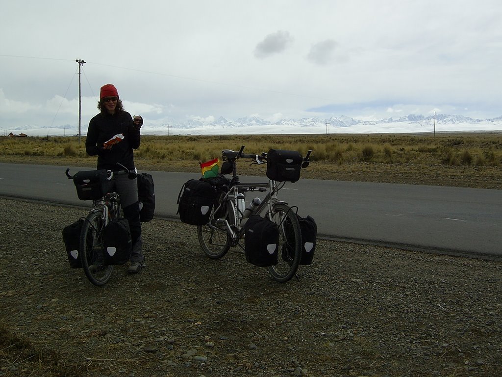
Most people reading this probably don´t really want to know where we are but this time we want you to know, just incase we get lost. We are now in Oruro and will be leaving tomorrow morning heading forever south.

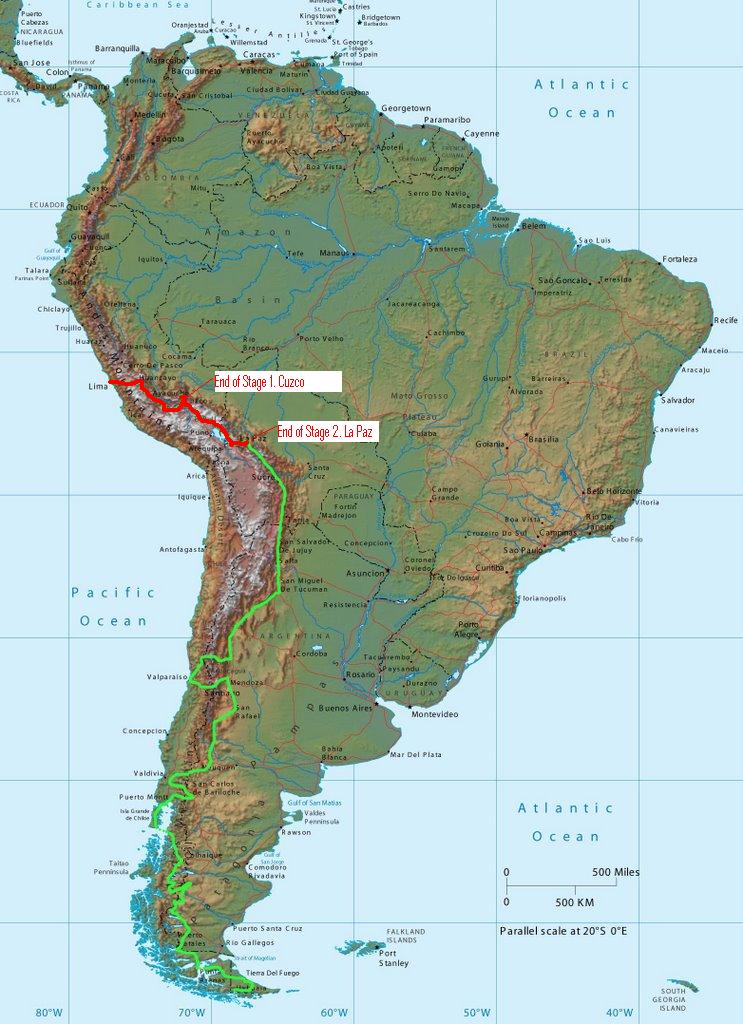
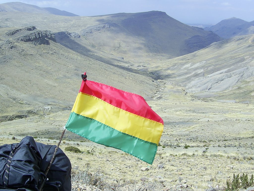
We originally intended to travel through Bolivia via Cochabamba and Potosi visiting the Cerro Rico mine along the way and then continuing south on the Altiplano to Villazon, Argentina juicy steaks and red wine.

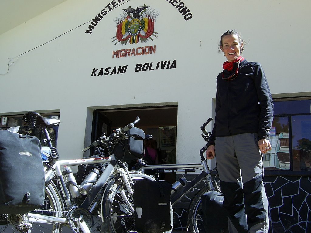
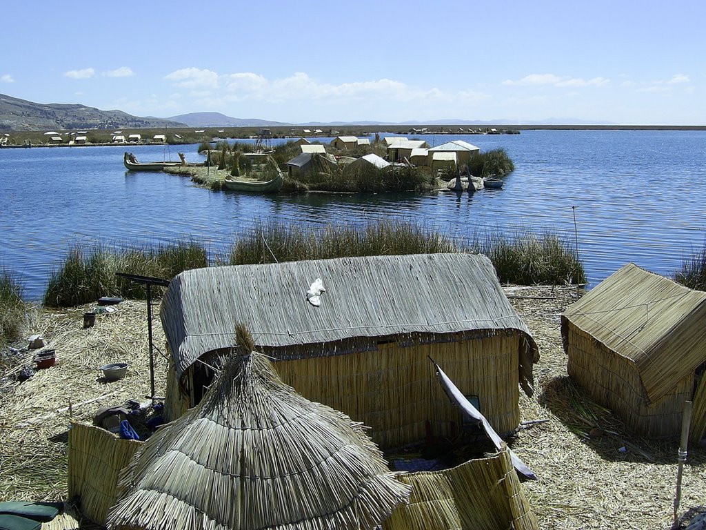
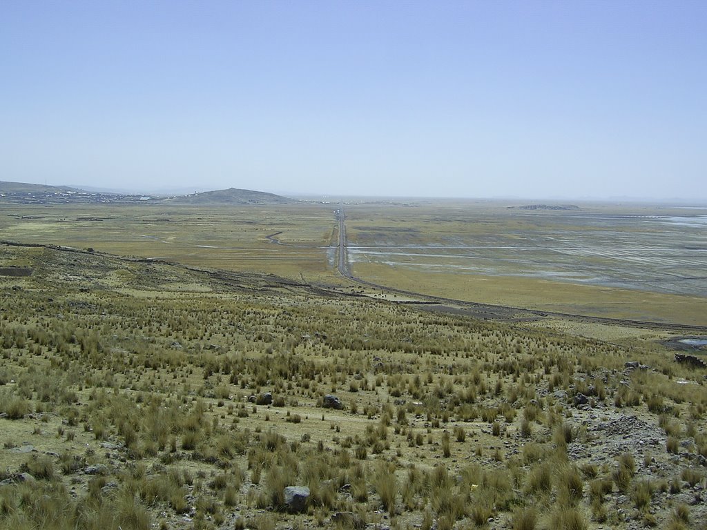
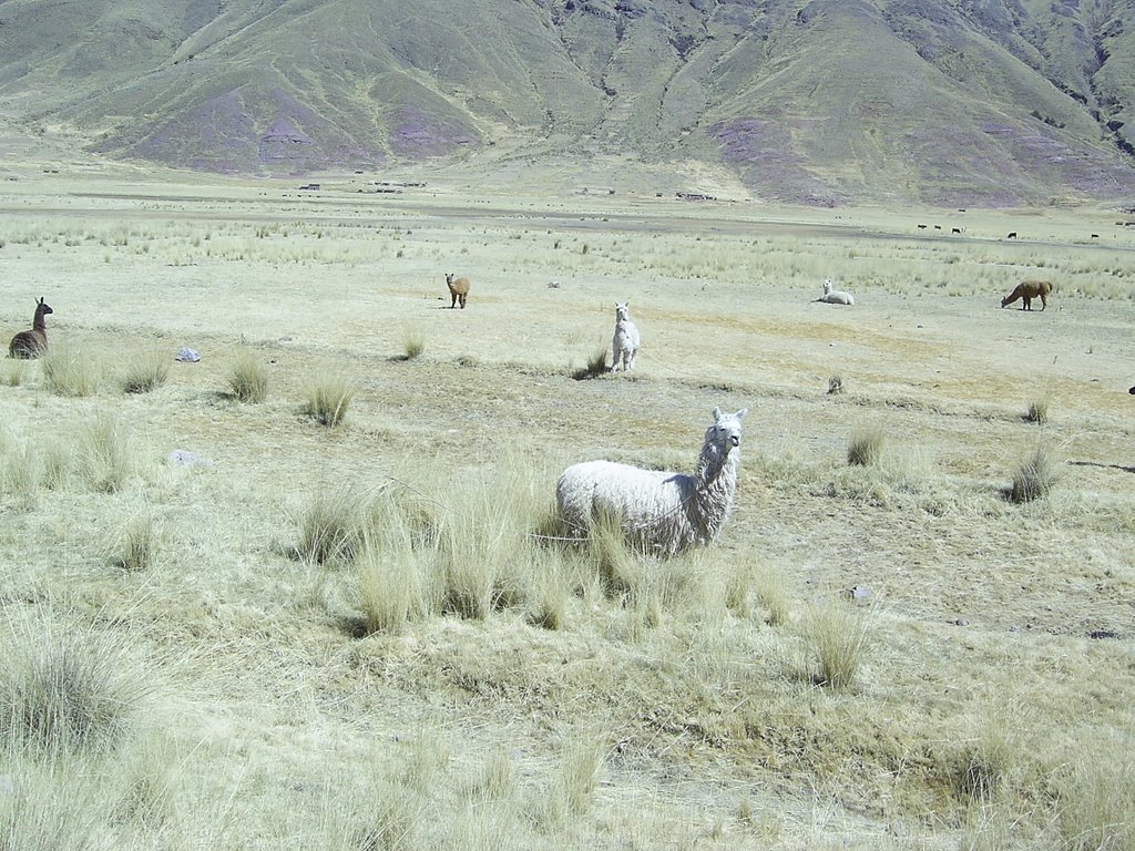
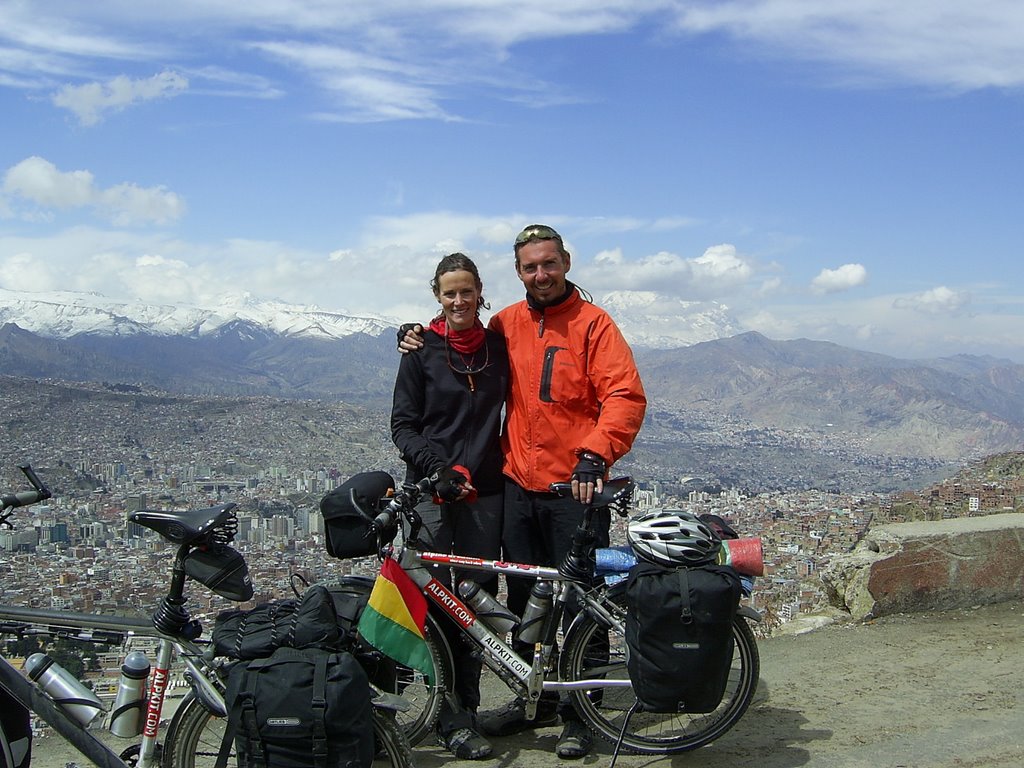
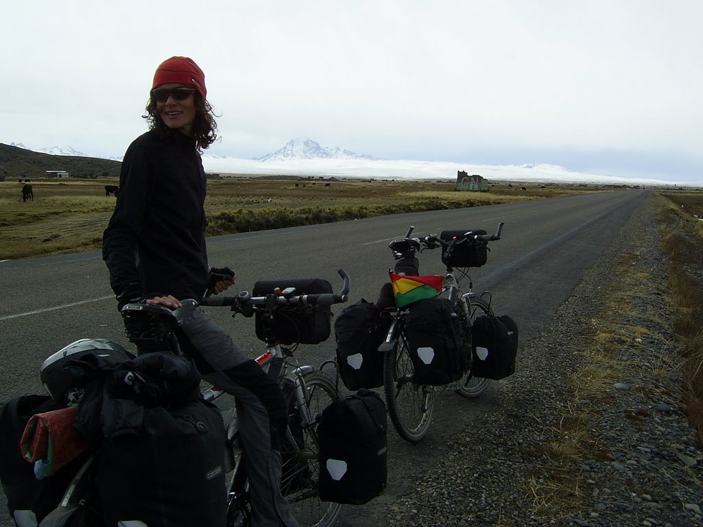
But after Cuzco, Puno, Titicaca, Copacabana and La Paz we both feel the need to get off the beaten track a little and do some real getting lost. So with the aid of our newly aquired military maps we´ve decided on a great route across the Salar de Uyuni and through the volcanic SW of Bolivia full of strangely coloured lagoons to Chile and the Atacama desert.

We estimate it´ll take us 10 - 12 days actual cycling but depending on roads this could be 16 - 17 days. We will update again when we arrive in Chile at San Pedro de Atacama somewhere around September 7th - 10th.

The route intended is as follows.

Oruro - Challapata 92km (24th August)

Challapata - Santuario de Quilcas 60km

S de Q - A Weird Forest (don´t understand the legend on the map as it´s in Spanish) 67km

Weird Forest - Tuhua and the northern edge of the Salar de Uyuni 68km

Crossing the Salar in a SW/SSW direction towards Isla Pescado 30km

Continuing across the Salar from Isla Pescado SSW - Charagua (land) 76km

Charagua - S following telegraph line turning right after 9km, left after 9km heading South (Chiguana) 400m climb.

Chiguana to Laguna Hedionda 71km

Laguna Hedionda - Laguna Colorado 90km

Laguna Colorado - Laguna Verde & Chile 100km

San Pedro de Atacama is probably about another 80 - 100km, but it could be as much as 1000km as I haven´t checked the map.

Bye for now.
R&S

Saturday, August 19, 2006 

Where are we now?

After starting stage 2 in Cuzco we're now in La Paz, Bolivia.

10 days (I think) of cycling and a few more days than we should have had relaxing by Titicaca and exploring the islands.

The distance from Cuzco to La Paz according to our bikes is 710.76km of mostly Altiplano, but beautiful all the same and flat which is always good.

Highlights of the stage were cycling along the shore of Titicaca, arriving in Copacabana and one of the best things I´ve ever seen the City of La Paz all squashed into the bottom of the canyon, surrounded by the snow covered peaks and Illimani towering above everything.

Friday, August 18, 2006 

Through the snow into La Paz

The grey and foreboding approach to La Paz.

Before reaching La Paz the ride took us through the poverty plagued sprawl of El Alto located on the northern edge of the canyon rim, this is now Latin Americas fastest growing city... and probably has more squashed dogs per mile of road than anywhere in the world.


After the grim ride in, suddenly the road dropped away to reveal the canyon of the Rio Choqueyapu. This 5km wide bowl is filled brim to brim with the city of La Paz. Every tiny space is filled, including houses glued to the sides of towering pinnacles on the canyon sides.


Set at an altitude of 3660m, with a population of only 1.5m La Paz is a stunning sight. Cycling into this with the backdrop of Illimani made New York and Hong Kong look dull in comparison.


Copacabana to La Paz

Leaving Copacabana over the 4300m pass that seemed to go on forever.

It took us most of the morning to climb out of Copacabana and get to the ferry crossing from the pennisular to mainland Bolivia.


The crossing looks idylic but the water was choppy, the barge had seen better days, the wind was gusting, the donkey was going mad and kept getting wedged between the missing planks, the bus behind us looked like it was going to topple overboard when the next wave hit and the captian wanted a fight!

It wasn´t our fault we bought a bus ticket by mistake and refused to pay a boliviano more.


Our new friend and a missionary from Slovakia took us in on a stormy night. He kindly offered us a room, fed us, but thought we were a little strange when we insisted on sleeping in our tent in his garage.

Mucho Gracias.


The previous nights storm had left fresh snows on the surrounding mountains. Illampu, Huana Potosi are both in the cordillera on our left. However the triple peaks of Illimani (6402m) dominated our approach to La Paz.


Sunset at Copacabana

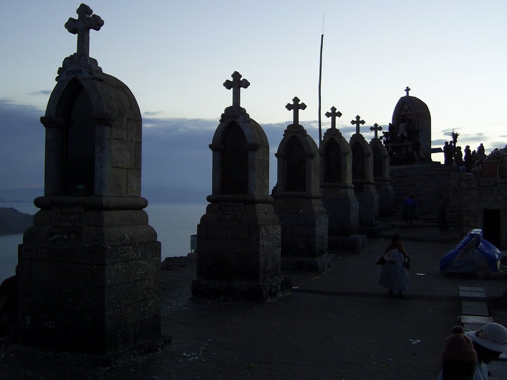
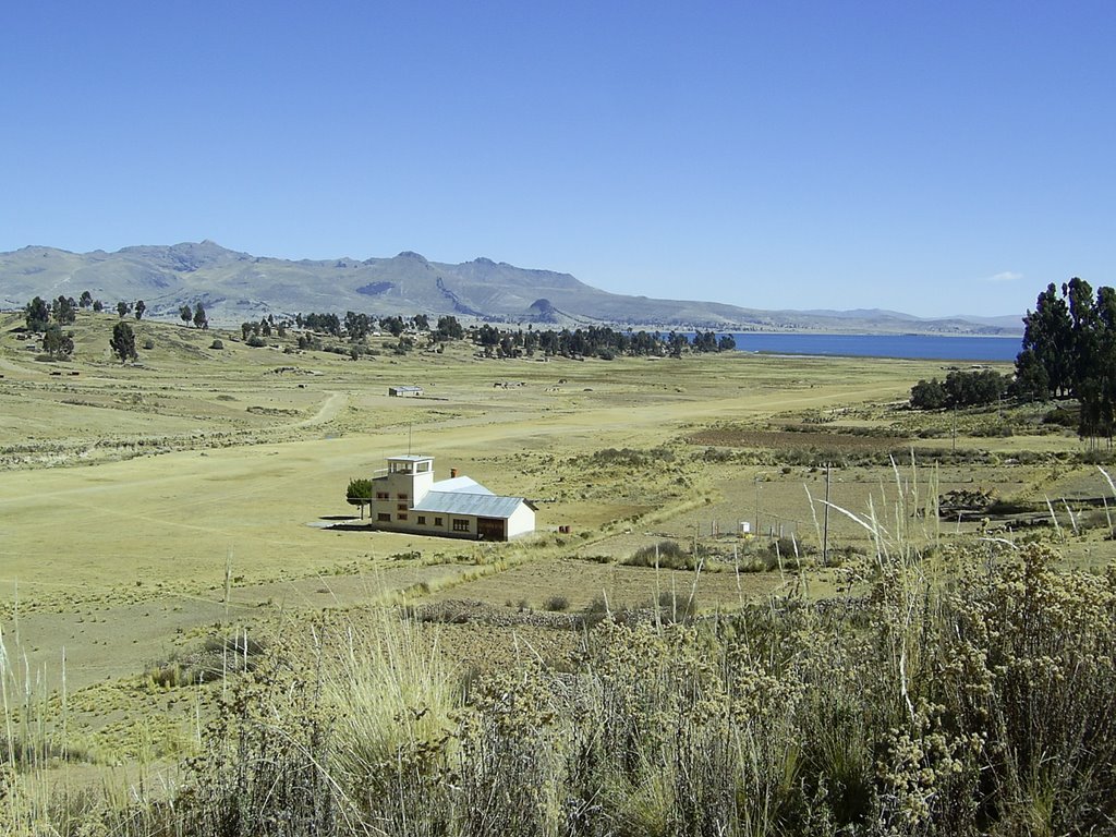
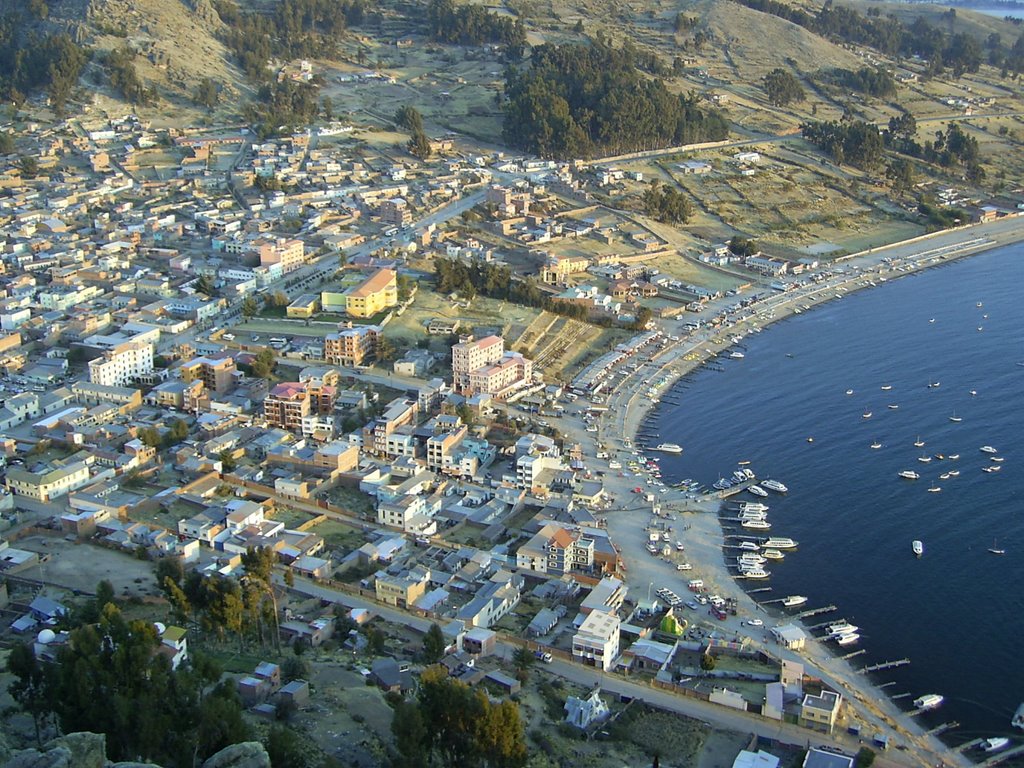
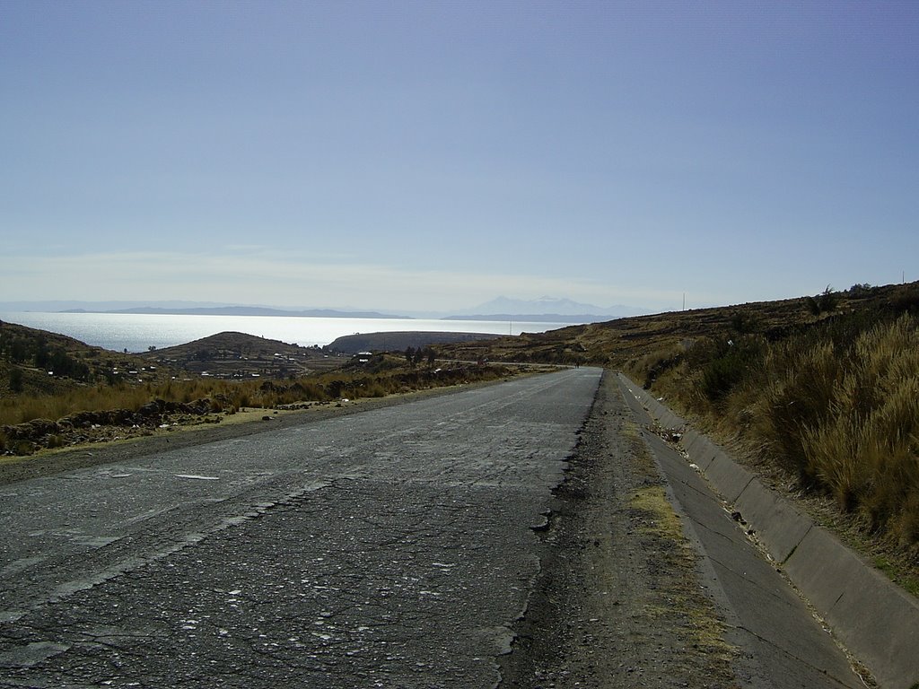
The sun setting over Titicaca.


The stations of the crosses.

A lot of the pilgrims are truck or bus drivers that that had come to Copacabana to have their vehicles blessed. The Benediciones de Movilidades involves the vehicles being covered in flowers and colourful decorations, bottles of cider smashed over the bumpers and firecrackers being let off.


Milo emersing himself in local culture, practising on his panpipes.

Unfortunately he doesn´t have much puff as he´s made of plastic, so he´s been pestering for a set of shajshas (rattles) made of polished goat hooves instead.


Richard and his new jumper.


Isla Del Sol

The Island of the sun is the legendary Inca creation site and is the birthplace of the sun in Inca mythology.

It was here that the bearded white god Viracha, a relative of Santa, and the first Incas, Manco Capac and his sister-wife(!) Mama Huaca made their mystical appearances.


Sarah found time to relax on the beach.


A couple of donkeys.


Bolivia at last.

Not enough corruption for our liking.

Crossing the border at Kasani was a relatively low key affair.

A little hassle trying to get a 90 day stamp but the letter of support from the Bolivian Embassy helped us on our way... with 90 days to explore beautiful Bolivia.


It took a second look as we approached Copacabana to realise this was the airport!


Looking down on Capacabana at sunset from Cerro Calvario, 3996m.

Pilgrims come from all over Peru and Bolivia to climb this little hill and place stones at the stations of the cross as they ascend.

Gringos go to watch the sunset over Titicaca.


Finally someone who understood Richard's Spanish!

The fun job of removing Peruvian grit from the chain...one link at a time.

Monday, August 14, 2006 

Puno to Bolivia


A beautiful two day (149km) ride along the lake.


An early morning view across the lake and our first real glimpse of Bolivia and the Cordillera Real with it´s 6400m peaks, 2.5 km above the Altiplano and Lake Titicaca.


The reed beds close to Puno from where the reeds used in the production of the traditional boats and the floating islands are harvested. We cycled through several villages where piles of reeds could be seen drying in preparation.


Titacaca´s floating islands.

The floating islands of Uros on Titacaca.

This unique group of islands is made up of around 70 individual islands. All entirely man made from reeds and float on the lake in exactly the same manner as their reed boats.

The islanders originally moved away from the mainland to avoid the more aggressive neighbours including the Incas.


Monday, August 07, 2006 

Altiplano, Puno & The President

Looking North. The railway line to Cuzco stretching towards the horizon.

400km seperates the 2 cities or 6 days by bike.


We wondered why there was so many police along the road from Juliaca to Puno. One group in an armoured car brandishing machine guns pulled us over and were going to give Richard a ticket for not wearing a helmet! (It is a legal requirement but only gringos wear helments)

Luckily we'd just been given a gift of a set of miniature dentures by a dentist in Juliaca. When we produced them the police were distracted just long enough to make good our escape.

Anyway.... the cops were there for Alan (Peru) Garcia the Peruvian President who was in Puno giving a speech on bicycle safety. If you look closely (click on the image), you can see him making an example of Richard who was still not wearing a helmet.

Enjoying a Calientito in the warmth of a bar in Puno.


Altiplano towards Puno

After a long discussion with the owner of these animals over a cup of Maté we discovered he believed in 'what goes around comes around'.

He was the Llama farmer who believed in Karma.


The road and the train line run alongside each other for most of the 400km between Cuzco and Puno. Only one train a day runs on the line taking 10 hours to complete the trip.


A local man who joined us for a couple of Kms.


A few odd ones...

A typical Peruvian lightswitch. These can be found all over Peru particuarly in toilets and hotel rooms.

We photographed this rare example as it actually worked and had a lovely texture.


Paintings depicting local toilet techniques.


Ah, how could anyone eat something so cute?

The terrified plump ginger one was delicious, I think I could actually taste it's fear. The fact it was ginger made it even more rewarding.

Sorry Lisa.


Altiplano towards Pucara

Enjoying the sun and the flat roads.


Milo our plastic monkey and mentor relaxing on the rear pannier rack.

Note. He always wears a helmet for his safety.


Alpkit make some great kit. Have you checked out their website...If not see our links.

Friday, August 04, 2006 

The Altiplano

It was good to be back on the road after a few days of relative luxary in Cuzco. Feeling much stronger than we were in the highlands we had no problems over the passes.

Abra La Raya was the begining of the Altiplano so we looked forward to some days of cycling without having to tackle massive passes everyday.


The snow covered peak in the distance was Abra La Raya. The Altiplano seemed to spill out in every direction and let the sunlight fill the space where the mountians once stood.

The vast open expanses are beautiful, the sun is super bright and the roads melt into the horizon.

Today we have seen at least 20 tornadoes-twisters of various sizes so tomorrow we´ll atempt to chase one and photograph it, flying llamas and all. We´ll post some photo´s as soon as we have time in Puno but at the moment we need to find a cold beer.